
Denarau Island topographic map
Interactive map
Click on the map to display elevation.
About this map
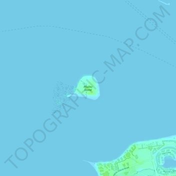
Name: Denarau Island topographic map, elevation, terrain.
Location: Denarau Island, Nadi, Western, Fiji (-17.76172 177.35993 -17.75799 177.36528)
Average elevation: 0 m
Minimum elevation: 0 m
Maximum elevation: 9 m