
Dreketi topographic map
Interactive map
Click on the map to display elevation.
About this map
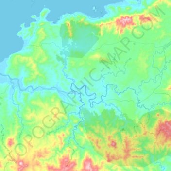
Name: Dreketi topographic map, elevation, terrain.
Location: Dreketi, Northern, Fiji (-16.61477 178.85786 -16.54736 179.13258)
Average elevation: 134 m
Minimum elevation: -1 m
Maximum elevation: 666 m
Other topographic maps
Click on a map to view its topography, its elevation and its terrain.