
Rakahanga topographic map
Interactive map
Click on the map to display elevation.
About this map
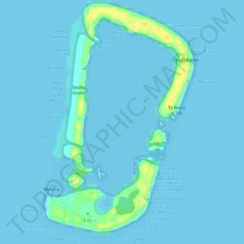
Name: Rakahanga topographic map, elevation, terrain.
Location: Rakahanga, Cook Islands (-10.03952 -161.10559 -9.99510 -161.07603)
Average elevation: 2 m
Minimum elevation: 0 m
Maximum elevation: 25 m