
Lake Pounui topographic map
Interactive map
Click on the map to display elevation.
About this map
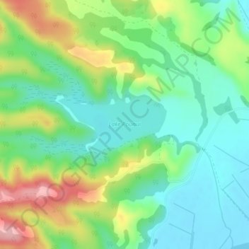
Name: Lake Pounui topographic map, elevation, terrain.
Average elevation: 53 m
Minimum elevation: 1 m
Maximum elevation: 154 m
Other topographic maps
Click on a map to view its topography, its elevation and its terrain.
Lake Onoke
New Zealand > Wellington > Lake Ferry
Lake Onoke, Western Lake Road, Lake Ferry, South Wairarapa District, Wellington, New Zealand
Average elevation: 2 m