
Lake Catherine topographic map
Interactive map
Click on the map to display elevation.
About this map
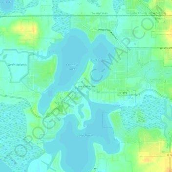
Name: Lake Catherine topographic map, elevation, terrain.
Location: Lake Catherine, Lake County, Illinois, 60002, USA (42.45919 -88.15342 42.49919 -88.11342)
Average elevation: 229 m
Minimum elevation: 222 m
Maximum elevation: 249 m