
Mangere topographic map
Interactive map
Click on the map to display elevation.
About this map
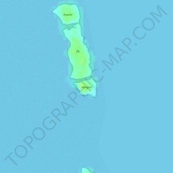
Name: Mangere topographic map, elevation, terrain.
Location: Mangere, Aitutaki, Cook Islands (-18.87003 -159.75230 -18.86675 -159.74856)
Average elevation: 0 m
Minimum elevation: 0 m
Maximum elevation: 13 m