
Manihiki topographic map
Interactive map
Click on the map to display elevation.
About this map
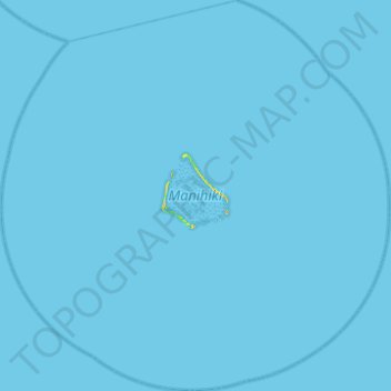
Name: Manihiki topographic map, elevation, terrain.
Location: Manihiki, Cook Islands (-10.66190 -161.24427 -10.17995 -160.74750)
Average elevation: 0 m
Minimum elevation: 0 m
Maximum elevation: 22 m