
McRae topographic map
Interactive map
Click on the map to display elevation.
About this map
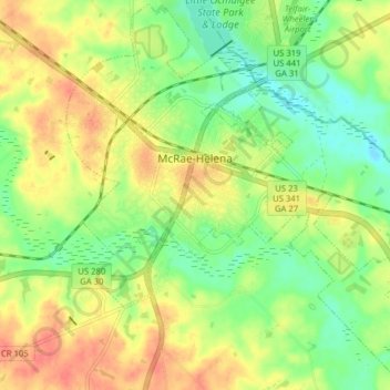
Name: McRae topographic map, elevation, terrain.
Location: McRae, Telfair County, Georgia, 31055, USA (32.02877 -82.92338 32.07968 -82.84804)
Average elevation: 67 m
Minimum elevation: 41 m
Maximum elevation: 93 m