
Mandala topographic map
Interactive map
Click on the map to display elevation.
About this map
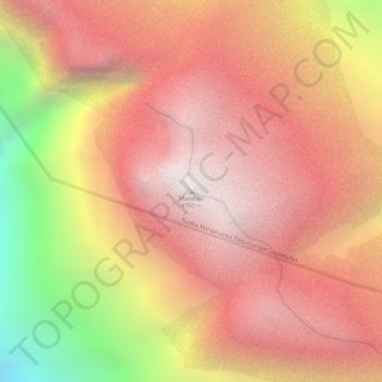
Name: Mandala topographic map, elevation, terrain.
Location: Mandala, Pegunungan Bintang, Highland Papua, Indonesia (-4.70849 140.28922 -4.70839 140.28932)
Average elevation: 4,148 m
Minimum elevation: 2,983 m
Maximum elevation: 4,732 m