
Hikurangi Channel topographic map
Interactive map
Click on the map to display elevation.
About this map
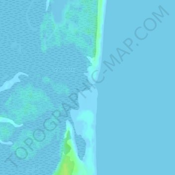
Name: Hikurangi Channel topographic map, elevation, terrain.
Location: Hikurangi Channel, Chatham Islands, New Zealand (-43.92344 -176.41892 -43.92334 -176.41882)
Average elevation: 1 m
Minimum elevation: -1 m
Maximum elevation: 11 m
Other topographic maps
Click on a map to view its topography, its elevation and its terrain.
Lake Te Rangatapu
Lake Te Rangatapu, Chatham Islands, New Zealand
Average elevation: 260 m
Lake Rakeinui
Lake Rakeinui, Chatham Islands, New Zealand
Average elevation: 256 m