
Groveland Township topographic map
Interactive map
Click on the map to display elevation.
About this map
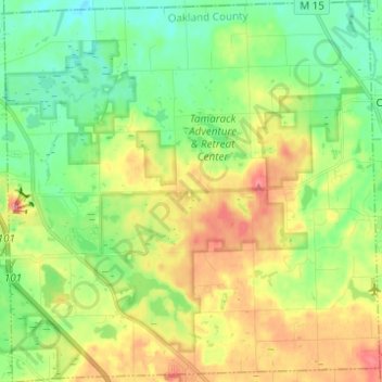
Name: Groveland Township topographic map, elevation, terrain.
Location: Groveland Township, Oakland County, Michigan, USA (42.78600 -83.57105 42.87630 -83.44971)
Average elevation: 305 m
Minimum elevation: 265 m
Maximum elevation: 370 m