
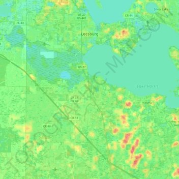
Leesburg topographic map
Interactive map
Click on the map to display elevation.
About this map
Name: Leesburg topographic map, elevation, terrain.
Location: Leesburg, Lake County, Florida, United States (28.65853 -81.95462 28.84616 -81.77183)
Average elevation: 26 m
Minimum elevation: 11 m
Maximum elevation: 62 m