
Arneberg topographic map
Interactive map
Click on the map to display elevation.
About this map
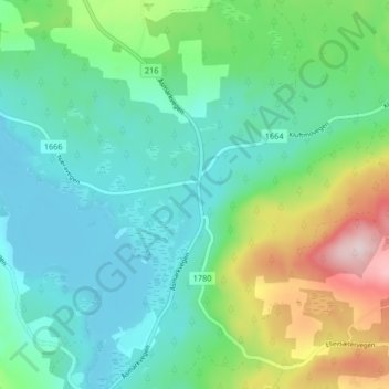
Name: Arneberg topographic map, elevation, terrain.
Location: Arneberg, Ringsaker, Innlandet, 2364, Norway (60.97650 10.77624 61.01650 10.81624)
Average elevation: 417 m
Minimum elevation: 327 m
Maximum elevation: 673 m
Other topographic maps
Click on a map to view its topography, its elevation and its terrain.