
Westwood topographic map
Interactive map
Click on the map to display elevation.
About this map
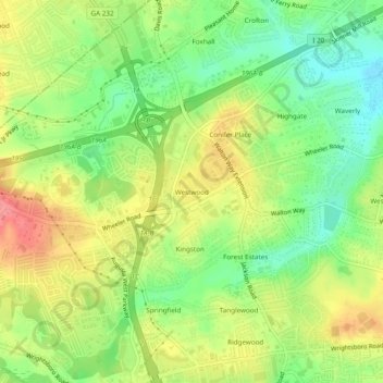
Name: Westwood topographic map, elevation, terrain.
Average elevation: 105 m
Minimum elevation: 68 m
Maximum elevation: 146 m
Other topographic maps
Click on a map to view its topography, its elevation and its terrain.
Waverly
United States > Georgia > Richmond County > Augusta
Waverly, Augusta, Richmond County, Georgia, 30909, United States
Average elevation: 96 m