
Linden Grove topographic map
Interactive map
Click on the map to display elevation.
About this map
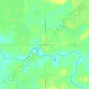
Name: Linden Grove topographic map, elevation, terrain.
Location: Linden Grove, Saint Louis County, Minnesota, United States (47.84298 -92.89045 47.88298 -92.85045)
Average elevation: 397 m
Minimum elevation: 387 m
Maximum elevation: 407 m
Other topographic maps
Click on a map to view its topography, its elevation and its terrain.
Duluth
United States > Minnesota > Saint Louis County
Duluth, Saint Louis County, Minnesota, United States
Average elevation: 286 m
Winton
United States > Minnesota > Saint Louis County
Winton, Saint Louis County, Minnesota, 55796, United States
Average elevation: 414 m