
Monteagudo topographic map
Interactive map
Click on the map to display elevation.
About this map
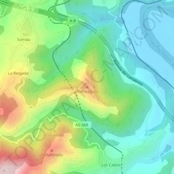
Name: Monteagudo topographic map, elevation, terrain.
Location: Monteagudo, Pravia, Asturias, 33138, España (43.52598 -6.10524 43.52608 -6.10514)
Average elevation: 141 m
Minimum elevation: -9 m
Maximum elevation: 446 m