
Hinton Nordic Centre topographic map
Interactive map
Click on the map to display elevation.
About this map
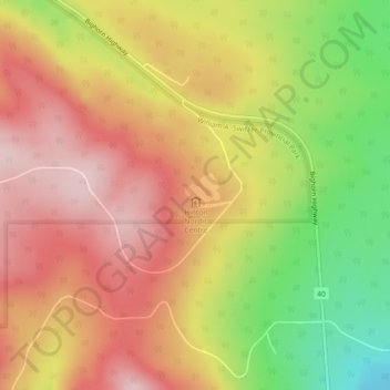
Name: Hinton Nordic Centre topographic map, elevation, terrain.
Location: Hinton Nordic Centre, Yellowhead County, Alberta, Canada (53.41929 -117.75053 53.41939 -117.75043)
Average elevation: 1,341 m
Minimum elevation: 1,185 m
Maximum elevation: 1,452 m