
Thank you for supporting this site ❤️
Make a donation
Make a donation
Atwood topographic map
Click on the map to display elevation.
Thank you for supporting this site ❤️
Make a donation
Make a donation
About this map
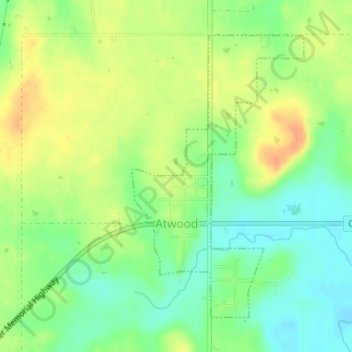
Name: Atwood topographic map, elevation, terrain.
Location: Atwood, Hughes County, Oklahoma, United States (34.94897 -96.34283 34.97062 -96.32671)
Average elevation: 243 m
Minimum elevation: 225 m
Maximum elevation: 262 m
Thank you for supporting this site ❤️
Make a donation
Make a donation