
Noordenveld topographic map
Interactive map
Click on the map to display elevation.
About this map
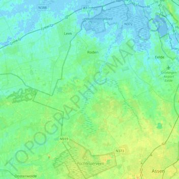
Name: Noordenveld topographic map, elevation, terrain.
Location: Noordenveld, Drenthe, Netherlands, The Netherlands (52.98552 6.30527 53.20383 6.54009)
Average elevation: 6 m
Minimum elevation: -5 m
Maximum elevation: 21 m