
Lian topographic map
Click on the map to display elevation.
About this map
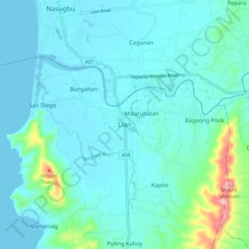
Name: Lian topographic map, elevation, terrain.
Location: Lian, Batangas, Calabarzon, Philippines (13.99612 120.61345 14.07612 120.69345)
Average elevation: 35 m
Minimum elevation: -4 m
Maximum elevation: 261 m