
Polesella topographic map
Interactive map
Click on the map to display elevation.
About this map
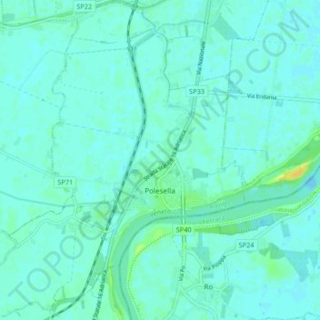
Name: Polesella topographic map, elevation, terrain.
Location: Polesella, Rovigo, Veneto, 45038, Italië (44.94064 11.70272 44.99860 11.77196)
Average elevation: 4 m
Minimum elevation: 0 m
Maximum elevation: 19 m