
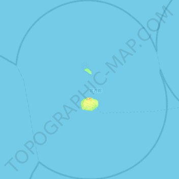
多良間村 topographic map
Interactive map
Click on the map to display elevation.
About this map
Name: 多良間村 topographic map, elevation, terrain.
Location: 多良間村, 宮古郡, Préfecture d'Okinawa, 906-0601, Japon (24.43797 124.46277 24.96126 124.94839)
Average elevation: 0 m
Minimum elevation: 0 m
Maximum elevation: 32 m