
Decatur topographic map
Interactive map
Click on the map to display elevation.
About this map
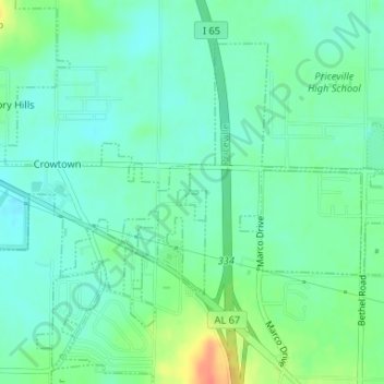
Name: Decatur topographic map, elevation, terrain.
Location: Decatur, DeKalb County, Georgia, United States of America (34.54241 -86.90956 34.54264 -86.90855)
Average elevation: 591 m
Minimum elevation: 488 m
Maximum elevation: 754 m