
Vallelunga topographic map
Interactive map
Click on the map to display elevation.
About this map
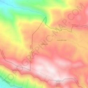
Name: Vallelunga topographic map, elevation, terrain.
Location: Vallelunga, Caserta, Kampanien, Italien (41.47036 14.15436 41.51036 14.19436)
Average elevation: 783 m
Minimum elevation: 286 m
Maximum elevation: 1,066 m