
Thank you for supporting this site ❤️
Make a donation
Make a donation
Taroongi topographic map
Click on the map to display elevation.
Thank you for supporting this site ❤️
Make a donation
Make a donation
About this map
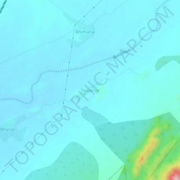
Name: Taroongi topographic map, elevation, terrain.
Location: Taroongi, Pindwara Tehsil, Sirohi, Rajasthan, India (24.54873 72.88376 24.58873 72.92376)
Average elevation: 316 m
Minimum elevation: 290 m
Maximum elevation: 569 m
Thank you for supporting this site ❤️
Make a donation
Make a donation