
Thank you for supporting this site ❤️
Make a donation
Make a donation
Obids topographic map
Click on the map to display elevation.
Thank you for supporting this site ❤️
Make a donation
Make a donation
About this map
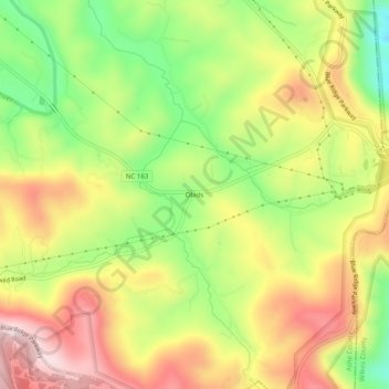
Name: Obids topographic map, elevation, terrain.
Location: Obids, Ashe County, North Carolina, 28629, United States (36.28846 -81.40704 36.32846 -81.36704)
Average elevation: 932 m
Minimum elevation: 744 m
Maximum elevation: 1,116 m
Thank you for supporting this site ❤️
Make a donation
Make a donation
Other topographic maps
Click on a map to view its topography, its elevation and its terrain.