
Thank you for supporting this site ❤️
Make a donation
Make a donation
Manolo topographic map
Click on the map to display elevation.
Thank you for supporting this site ❤️
Make a donation
Make a donation
About this map
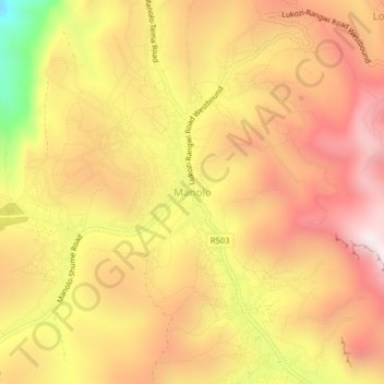
Name: Manolo topographic map, elevation, terrain.
Location: Manolo, Lushoto, Tanga Region, Northern Zone, Tanzania (-4.64145 38.20294 -4.60145 38.24294)
Average elevation: 1,878 m
Minimum elevation: 1,263 m
Maximum elevation: 2,264 m
Thank you for supporting this site ❤️
Make a donation
Make a donation