
Lestards topographic map
Interactive map
Click on the map to display elevation.
About this map
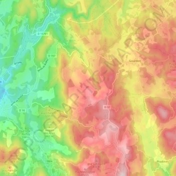
Name: Lestards topographic map, elevation, terrain.
Average elevation: 683 m
Minimum elevation: 460 m
Maximum elevation: 900 m
Other topographic maps
Click on a map to view its topography, its elevation and its terrain.
Clédat
France > Nouvelle-Aquitaine > Corrèze > Grandsaigne
Clédat, Grandsaigne, Tulle, Corrèze, Nouvelle-Aquitaine, Metropolitan France, 19300, France
Average elevation: 761 m