
Thank you for supporting this site ❤️
Make a donation
Make a donation
Garber topographic map
Click on the map to display elevation.
Thank you for supporting this site ❤️
Make a donation
Make a donation
About this map
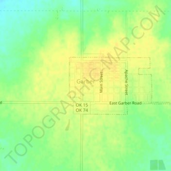
Name: Garber topographic map, elevation, terrain.
Location: Garber, Garfield County, Oklahoma, 73738, United States (36.43172 -97.58885 36.44077 -97.56779)
Average elevation: 354 m
Minimum elevation: 340 m
Maximum elevation: 363 m
Thank you for supporting this site ❤️
Make a donation
Make a donation
Other topographic maps
Click on a map to view its topography, its elevation and its terrain.