
Thank you for supporting this site ❤️
Make a donation
Make a donation
Pond Mountain topographic map
Click on the map to display elevation.
Thank you for supporting this site ❤️
Make a donation
Make a donation
About this map
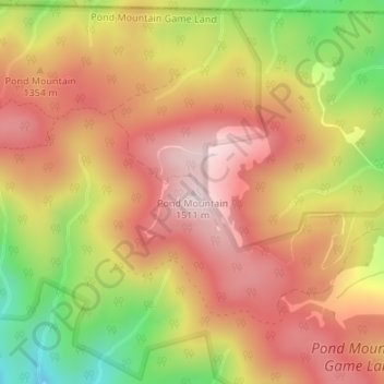
Name: Pond Mountain topographic map, elevation, terrain.
Location: Pond Mountain, Ashe County, North Carolina, United States (36.57479 -81.65322 36.57489 -81.65312)
Average elevation: 1,328 m
Minimum elevation: 1,063 m
Maximum elevation: 1,506 m
Thank you for supporting this site ❤️
Make a donation
Make a donation
Other topographic maps
Click on a map to view its topography, its elevation and its terrain.