
Thank you for supporting this site ❤️
Make a donation
Make a donation
De Engel topographic map
Click on the map to display elevation.
Thank you for supporting this site ❤️
Make a donation
Make a donation
About this map
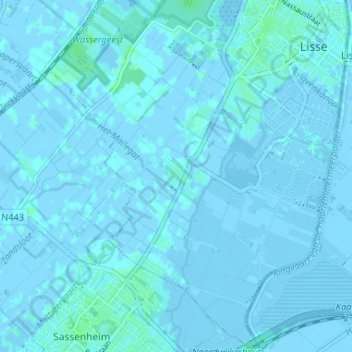
Name: De Engel topographic map, elevation, terrain.
Location: De Engel, Lisse, Zuid-Holland, Nederland, 2161 CV, Nederland (52.22286 4.51751 52.26286 4.55751)
Average elevation: 0 m
Minimum elevation: -6 m
Maximum elevation: 4 m
Thank you for supporting this site ❤️
Make a donation
Make a donation
Other topographic maps
Click on a map to view its topography, its elevation and its terrain.