
Mount Barker District Council topographic map
Interactive map
Click on the map to display elevation.
About this map
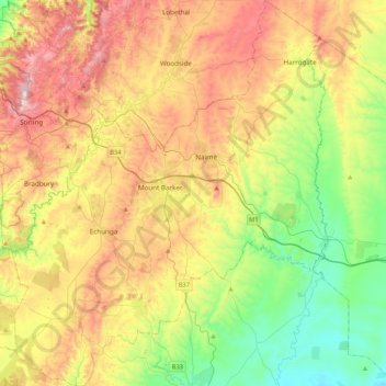
Name: Mount Barker District Council topographic map, elevation, terrain.
Location: Mount Barker District Council, South Australia, Australia (-35.24331 138.69470 -34.89482 139.04396)
Average elevation: 310 m
Minimum elevation: 24 m
Maximum elevation: 709 m
Other topographic maps
Click on a map to view its topography, its elevation and its terrain.