
Ville Sur Sarre topographic map
Interactive map
Click on the map to display elevation.
About this map
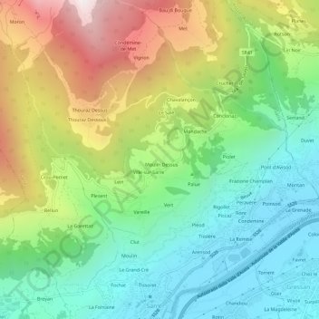
Name: Ville Sur Sarre topographic map, elevation, terrain.
Location: Ville Sur Sarre, Valle d'Aosta, Italië (45.71512 7.24015 45.75512 7.28015)
Average elevation: 1,173 m
Minimum elevation: 577 m
Maximum elevation: 2,238 m