
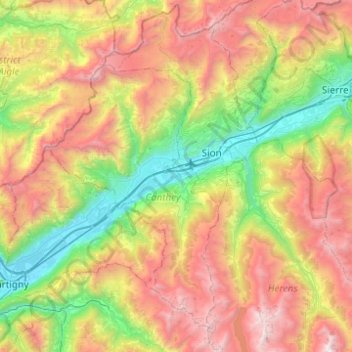
Vallée du Rhône topographic map
Interactive map
Click on the map to display elevation.
About this map
Name: Vallée du Rhône topographic map, elevation, terrain.
Location: Vallée du Rhône, Conthey, Wallis, 1964, Switzerland (46.11847 7.06994 46.29744 7.56371)
Average elevation: 1,739 m
Minimum elevation: 456 m
Maximum elevation: 3,624 m