
Brandywine Falls topographic map
Interactive map
Click on the map to display elevation.
About this map
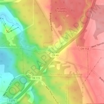
Name: Brandywine Falls topographic map, elevation, terrain.
Average elevation: 265 m
Minimum elevation: 198 m
Maximum elevation: 311 m
Other topographic maps
Click on a map to view its topography, its elevation and its terrain.
Pancake Lake
United States > Ohio > Summit County > New Franklin
Pancake Lake, New Franklin, Summit County, Ohio, United States
Average elevation: 312 m
Akron
United States > Ohio > Summit County
Akron, Summit County, Ohio, United States
Average elevation: 315 m