
Motegi topographic map
Click on the map to display elevation.
About this map
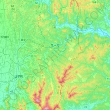
Name: Motegi topographic map, elevation, terrain.
Location: Motegi, Haga County, Tochigi Prefecture, 321-3531, Japan (36.39728 140.12837 36.62501 140.26018)
Average elevation: 145 m
Minimum elevation: 21 m
Maximum elevation: 510 m