
Thank you for supporting this site ❤️
Make a donation
Make a donation
Tanay River topographic map
Click on the map to display elevation.
Thank you for supporting this site ❤️
Make a donation
Make a donation
About this map
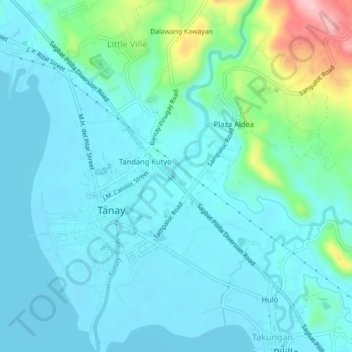
Name: Tanay River topographic map, elevation, terrain.
Location: Tanay River, Tanay, Rizal, Calabarzon, 1980, Philippines (14.48121 121.28355 14.52405 121.30375)
Average elevation: 33 m
Minimum elevation: -1 m
Maximum elevation: 185 m
Thank you for supporting this site ❤️
Make a donation
Make a donation
Other topographic maps
Click on a map to view its topography, its elevation and its terrain.