
Thank you for supporting this site ❤️
Make a donation
Make a donation
A Filgueira topographic map
Click on the map to display elevation.
Thank you for supporting this site ❤️
Make a donation
Make a donation
About this map
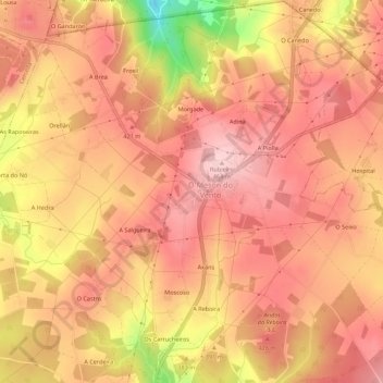
Name: A Filgueira topographic map, elevation, terrain.
Location: A Filgueira, Ardemil, Ordes, La Coruña, Galicia, 15183, España (43.13002 -8.40798 43.17002 -8.36798)
Average elevation: 396 m
Minimum elevation: 240 m
Maximum elevation: 461 m
Thank you for supporting this site ❤️
Make a donation
Make a donation
Other topographic maps
Click on a map to view its topography, its elevation and its terrain.