
Lester topographic map
Click on the map to display elevation.
About this map
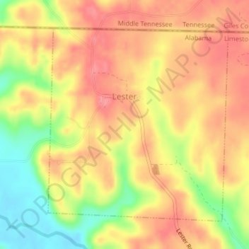
Name: Lester topographic map, elevation, terrain.
Location: Lester, Limestone County, Alabama, United States (34.97712 -87.16346 34.99807 -87.13962)
Average elevation: 233 m
Minimum elevation: 181 m
Maximum elevation: 263 m
Other topographic maps
Click on a map to view its topography, its elevation and its terrain.