
Make a donation
Burkes Pass topographic map
Click on the map to display elevation.
Make a donation
Burkes Pass
Burkes Pass is a mountain pass and at its base, a small town on State Highway 8 at the entrance to the Mackenzie Country in South Canterbury, New Zealand. It is named after Michael John Burke (1812 Co. Galway-1869 Ballarat), a graduate of Trinity College Dublin, who drove a team of bullocks through the passageway which leads up into the Mackenzie Country in 1855. This was an alternative route to the Mackenzie Pass, which the notorious alleged sheep stealer, James Mckenzie, had used to take his sheep into the Otago goldfields. Burkes Pass separates the Two Thumb Range to the north from the Rollesby and Albury ranges to the south, and sits at an altitude of 709 metres (2,326 ft). A memorial to Burke stands close to the pass's saddle.
Make a donation
About this map
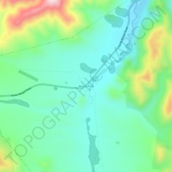
Name: Burkes Pass topographic map, elevation, terrain.
Location: Burkes Pass, Mackenzie District, Canterbury, New Zealand (-44.10944 170.63279 -44.06944 170.67279)
Average elevation: 622 m
Minimum elevation: 510 m
Maximum elevation: 916 m
Mackenzie District trails, hiking, mountain biking, running and outdoor activities
Make a donation
Other topographic maps
Click on a map to view its topography, its elevation and its terrain.