
Hawley topographic map
Interactive map
Click on the map to display elevation.
About this map
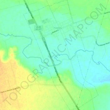
Name: Hawley topographic map, elevation, terrain.
Location: Hawley, Jones County, Texas, United States of America (32.58062 -99.82931 32.62441 -99.79392)
Average elevation: 505 m
Minimum elevation: 493 m
Maximum elevation: 521 m