
Blagoevgrad topographic map
Interactive map
Click on the map to display elevation.
About this map
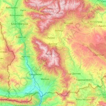
Name: Blagoevgrad topographic map, elevation, terrain.
Location: Blagoevgrad, Bulgaria (41.31662 22.86349 42.18350 24.11529)
Average elevation: 1,084 m
Minimum elevation: 58 m
Maximum elevation: 2,899 m