
Aichtal topographic map
Interactive map
Click on the map to display elevation.
About this map
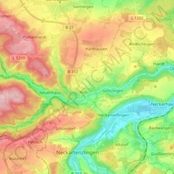
Name: Aichtal topographic map, elevation, terrain.
Location: Aichtal, Landkreis Esslingen, Baden-Württemberg, 72631, Germany (48.60456 9.14400 48.65115 9.29416)
Average elevation: 370 m
Minimum elevation: 274 m
Maximum elevation: 486 m