
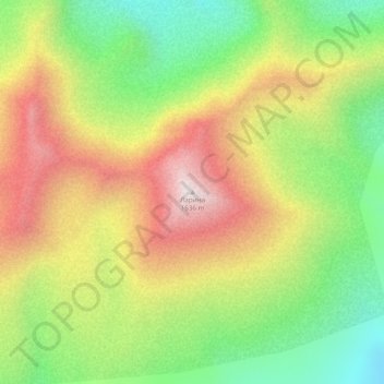
Ларина topographic map
Interactive map
Click on the map to display elevation.
About this map
Name: Ларина topographic map, elevation, terrain.
Average elevation: 1,202 m
Minimum elevation: 836 m
Maximum elevation: 1,614 m
Other topographic maps
Click on a map to view its topography, its elevation and its terrain.
Klioutchevskoï
Russie > Kraï du Kamtchatka > Усть-Камчатский район
Klioutchevskoï, Усть-Камчатский район, Kraï du Kamtchatka, District fédéral extrême-oriental, Russie
Average elevation: 4,140 m