
Erua topographic map
Interactive map
Click on the map to display elevation.
About this map
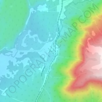
Name: Erua topographic map, elevation, terrain.
Location: Erua, Ruapehu District, Manawatū-Whanganui, New Zealand (-39.24708 175.37656 -39.20708 175.41656)
Average elevation: 845 m
Minimum elevation: 708 m
Maximum elevation: 1,220 m
Ruapehu District trails, hiking, mountain biking, running and outdoor activities