
Hoffman topographic map
Interactive map
Click on the map to display elevation.
About this map
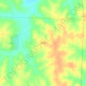
Name: Hoffman topographic map, elevation, terrain.
Location: Hoffman, Johnson County, Missouri, United States of America (38.90445 -93.78022 38.94445 -93.74022)
Average elevation: 254 m
Minimum elevation: 232 m
Maximum elevation: 272 m