
Vedun topographic map
Interactive map
Click on the map to display elevation.
About this map
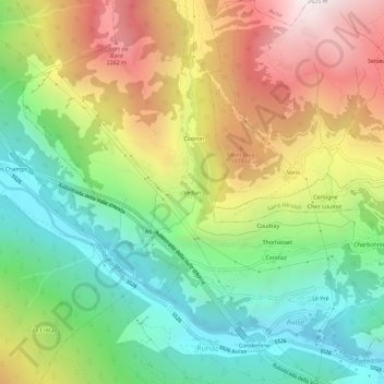
Name: Vedun topographic map, elevation, terrain.
Location: Vedun, Valle d'Aosta, 11011, Italië (45.70208 7.10429 45.74208 7.14429)
Average elevation: 1,462 m
Minimum elevation: 715 m
Maximum elevation: 2,522 m