
San Isidro topographic map
Interactive map
Click on the map to display elevation.
About this map
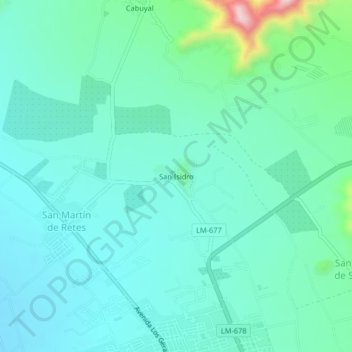
Name: San Isidro topographic map, elevation, terrain.
Location: San Isidro, Huaral, Lima, Pérou (-11.48830 -77.23222 -11.44830 -77.19222)
Average elevation: 194 m
Minimum elevation: 139 m
Maximum elevation: 440 m