
Panguru topographic map
Interactive map
Click on the map to display elevation.
About this map
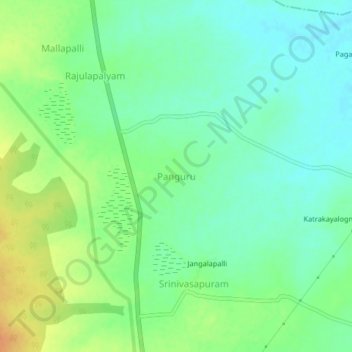
Name: Panguru topographic map, elevation, terrain.
Location: Panguru, Chittoor, Andhra Pradesh, India (13.74445 79.58011 13.78445 79.62011)
Average elevation: 79 m
Minimum elevation: 65 m
Maximum elevation: 102 m