
Ørbæk topographic map
Interactive map
Click on the map to display elevation.
About this map
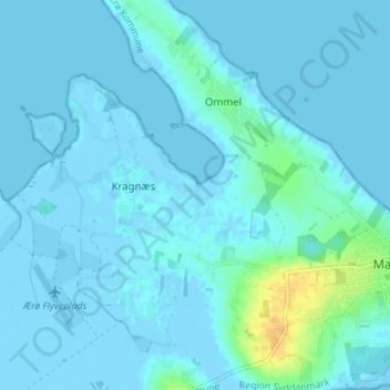
Name: Ørbæk topographic map, elevation, terrain.
Location: Ørbæk, Ommel, Ærø Kommune, Region Süddänemark, 5960, Dänemark (54.84283 10.46180 54.88283 10.50180)
Average elevation: 3 m
Minimum elevation: -6 m
Maximum elevation: 28 m